So, here we go with part 2. I’m excited to write this as it describes our actual summit of Mount Whitney!! Quick overview, if you missed my last post, Mount Whitney is 14,497 feet above sea level with a few different routes to the summit. Two popular routes are both from the Whitney Portal, taking the Mount Whitney Trail or the mountaineer’s route. We first attempted the mountaineer’s route, but with the weather discouraging our ascent, we decided best to go the Whitney Trail. The trail requires a permit and after four years of putting in for one, we finally were granted it this year. The hike climbs about 6,000 feet of vertical.
So, from where I left off on my last post, we had just come back down from the mountaineer’s route and were ready to start the hike back up. It was going to be a seven mile trek to our campsite and total of 11 miles to reach the summit. At this point, unfortunately the weather had moved in and it was pouring rain. The trail starts up tree-covered switchbacks. About two and a half miles into the trail, you’ll reach Lone Pine Lake. The trail to the lake leads to the left, while the trail to Whitney continues straight. Unfortunately, pictures were few and far between as the rain continued to pour down on us.
We continued up the trail through more switchbacks as the trees were becoming sparser. The rain started to slow, but still not to a stop. The next marker was Outpost Camp which was about four miles into the hike. We decided to pass this and continue on to the next campsite for the evening. From Outpost Camp came more switchbacks to a small lake called Mirror Lake. The rain had finally stopped here, so we set our gear on a rock to dry out and sat in the sun for about 15 minutes.
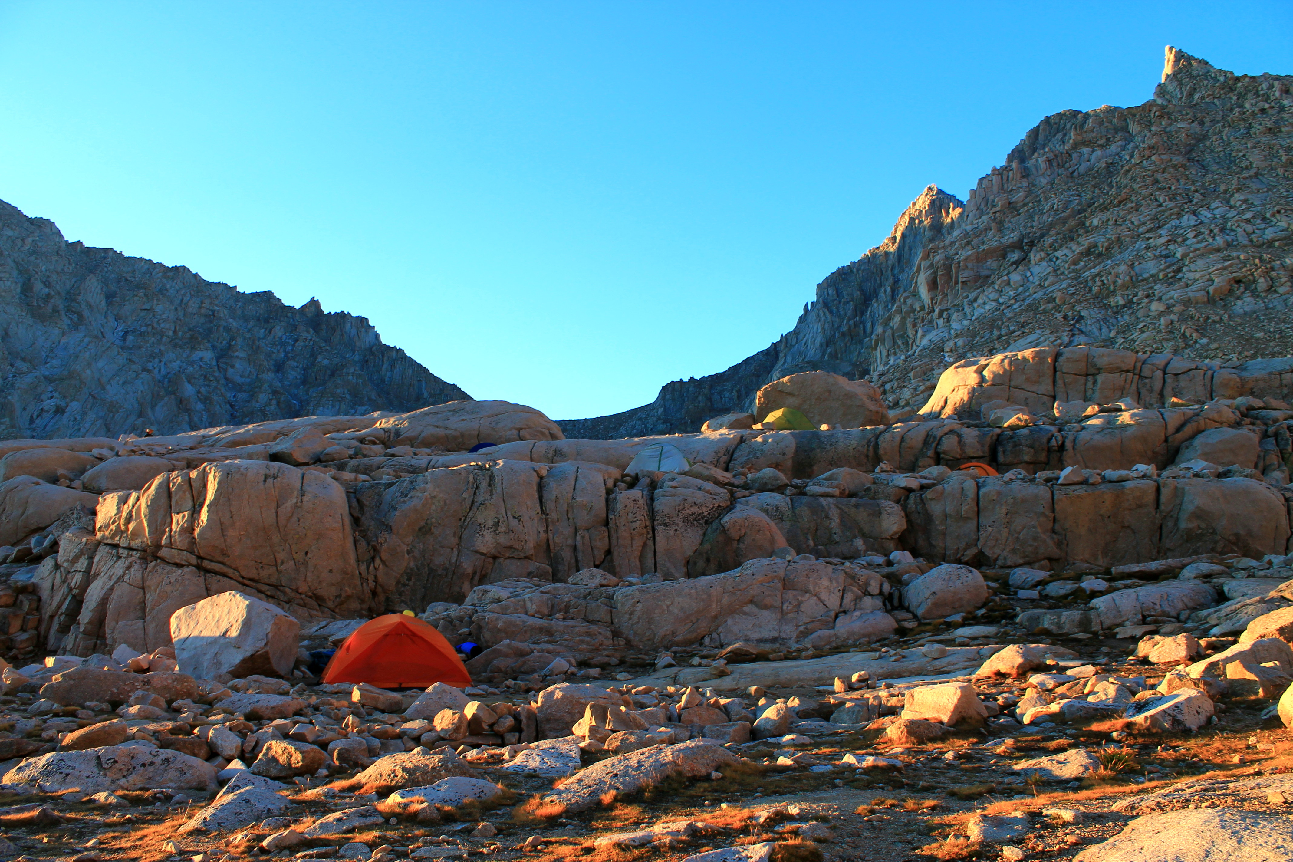
As the hot sun went behind the mountains, we decided to continue on. You’ll pass some pretty trailside meadows with a stream running through on the left where we used our new Katadyn water filter from Tahoe Mountains Sports to refill our water bottles. Trekking up rocks and the trail we made it to the ridge where you can see Consultation Lake on the left. The rain hadn’t started up again, but the sky was starting to look a bit dark. We continued on and finally made it to Trail Camp. We unpacked, had dinner and after about 13 miles of hiking this day, all passed out for the evening. Below are a few pictures!


We got up early, around 6:30 am, had some breakfast and were off to summit! We had about four miles left from Trail Camp. We hiked our way up the famous 99 switchbacks to the Trail Crest leaving us just about two miles to the summit. Peering over the other side of the ridge was absolutely amazing with Hitchcock Lake and Guitar Lake in view. Thinking it was going to be a pretty easy hike the rest of the way, I was wrong. First, you’ll drop down and then make your way back up. Once you start going up it’s a gradual up pretty much the whole way. You’ll pass the cool looking two steeples on your right, until you’ll start the final push to the summit. That’s what we did and we finally made it! I was even able to bring my Granite Rocx cooler. There is a lightning hut at the top and the famous Mount Whitney sign. What an epic view! The clouds were rolling in super fast so we didn’t stay long at the top. Long enough for a few pictures, a drink and surprisingly a marriage proposal – great stuff! Below are more pictures!


As I mentioned, the clouds were rolling in so we made our way back to camp to find our tent broken into by some rascal rodents. We had a bear box and didn’t have any food in the tent! Ahh… Anyway, we made the trek back to our car and the Whitney Portal. What a great experience with great people!
The Mount Whitney Trail is much more defined than the mountaineer’s route. I will admit that I learned a lot on this trip. We don’t get much rain in Tahoe and so I admittedly was not prepared for it on this backpacking hike. Either way, I was lucky to make it through and honestly can’t explain the feeling when you reach the top. It was pretty amazing. If you’ve reached the summit of Whitney, make a comment below! Also, follow me on twitter @sberei.
